
Plan
Turn objectives, intelligence, geography, risks, resources, and operational priorities into work that can be understood and assigned.

ArcHorizon by Arcadia Command Solutions
ARC / ARCHORIZON
ArcHorizon is an offline-first incident command assistant being developed first for search and rescue, with broader support for emergency incidents and planned events.
Early developmentThe platform
ArcHorizon brings personnel, teams, assignments, maps, field reporting, operational information, and incident documentation into one connected system without assuming dependable internet access.
COMMAND OVERVIEW
Search and rescue first
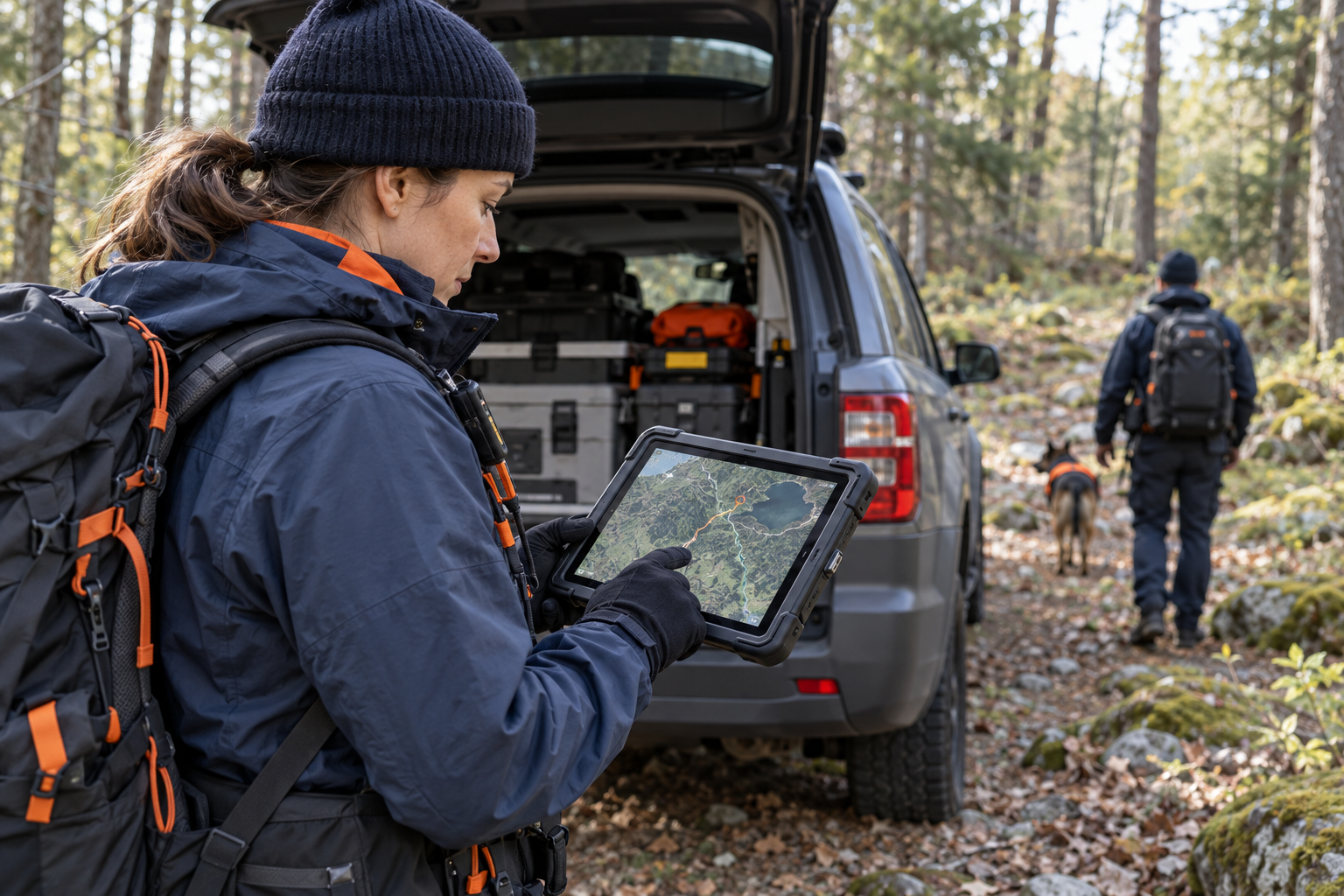
ArcHorizon is being designed around the full search operation: building teams, assigning work, maintaining an operational map, following progress, receiving field reports, tracking critical information, and preserving the incident record.
The same foundation can support other incidents and planned events without turning every operation into the same workflow.
The idea behind ArcHorizon
ArcHorizon is not meant to create another isolated command-post system. It is meant to connect the people developing the plan, coordinating the operation, and carrying out the work in the field.
Turn objectives, intelligence, geography, risks, resources, and operational priorities into work that can be understood and assigned.
Keep command staff, partner agencies, support functions, and field teams working from the same operational picture.
Move assignments and critical information into the field, then return status, observations, and results to command.
The value comes from closing the gap between those four groups—not from giving each of them another separate tool.
Incident organization, personnel, teams, resources, operational status, alerts, and a common command picture.
Task development, briefing, team assignment, status tracking, field progress, and operational closeout.
Search planning, operational layers, assignments, clues, hazards, drawing tools, and map exchange.
Field reports, subjects, clues, leads, weather, safety information, agency coordination, and situation awareness.
Objectives, strategies, tactics, meetings, resource needs, operational periods, and action-plan development.
ICS forms, logs, assignment records, situation reports, and an incident record built from work already being tracked.
Command application
The Windows desktop application is being designed for incident command, section staff, planners, dispatchers, and other personnel who need the complete operational picture and the tools to manage it.
Companion field app
The companion app gives field personnel a focused mobile experience without reproducing the entire command application on a smaller screen.
ArcHorizon is being designed so an incident can continue operating when connectivity degrades instead of making the network another single point of failure.
Designed to extend beyond SAR
Follow the development
Arcadia Command Solutions welcomes questions from prospective users, pilot organizations, development partners, and organizations considering the platform for future operations.
Contact Us ↗